Plot and coordinate system
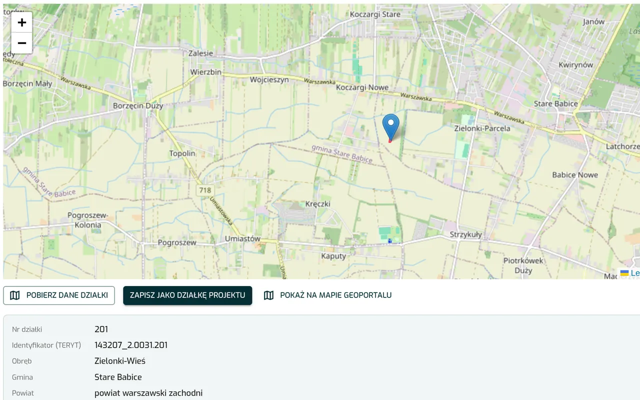
Point to a spot on the map and Bimetria downloads the plot data and local zoning plan parameters. The model is placed in the Polish PL-2000 or PL-1992 coordinate system.
Projects
Platform
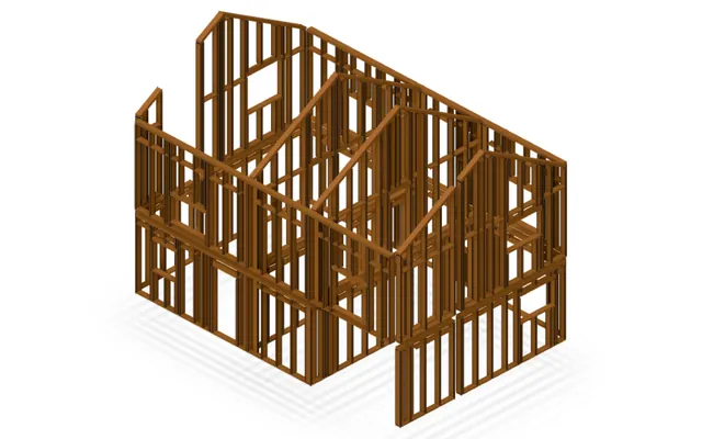 FeaturedAssembly plans from the modelTimber frame, precast elements, masonry units
Plot data comes from Poland’s public Geoportal, the terrain model from GUGiK, the Polish national mapping agency, or from your surveyor, and Bimetria calculates the earthworks balance and site development indicators.
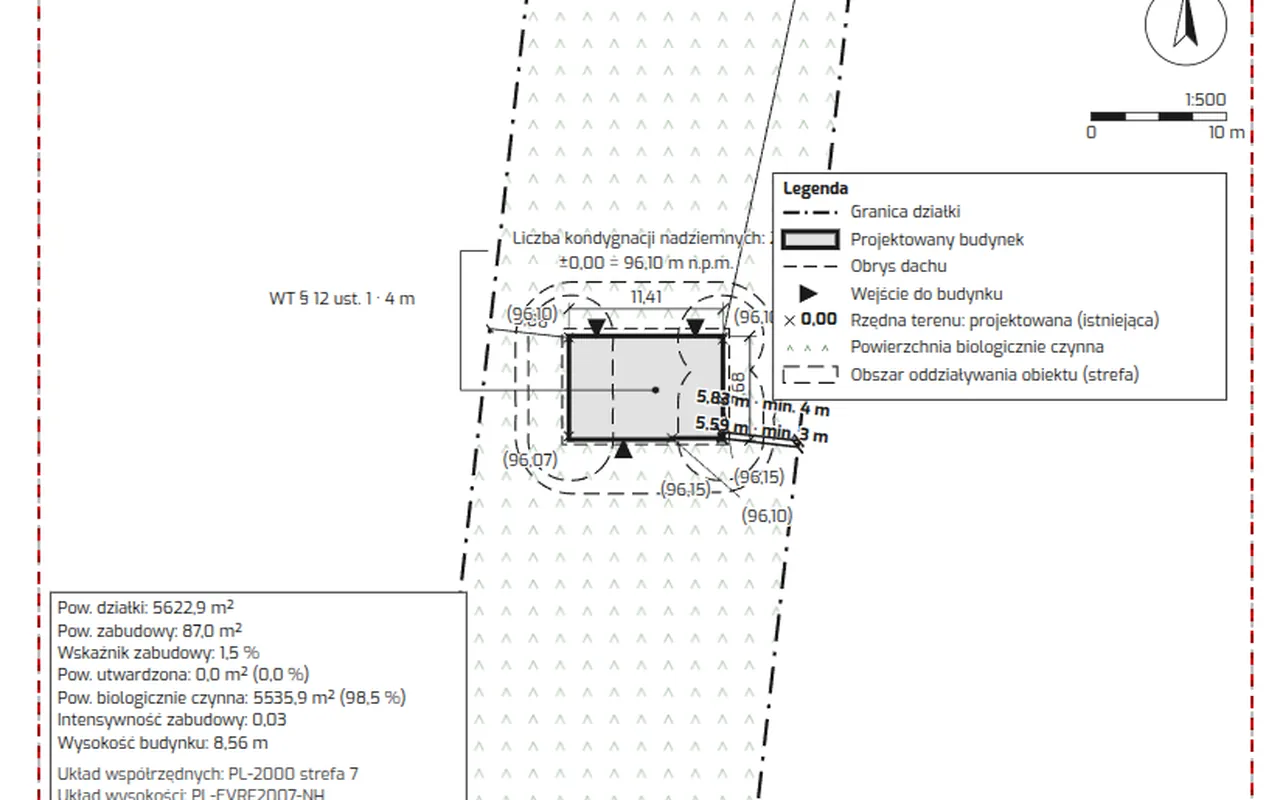
Point to a spot on the map and Bimetria downloads the plot data and local zoning plan parameters. The model is placed in the Polish PL-2000 or PL-1992 coordinate system.
Download the digital terrain model from GUGiK or load it from your surveyor’s file. The earthworks balance goes into the results with the rest of the schedules.
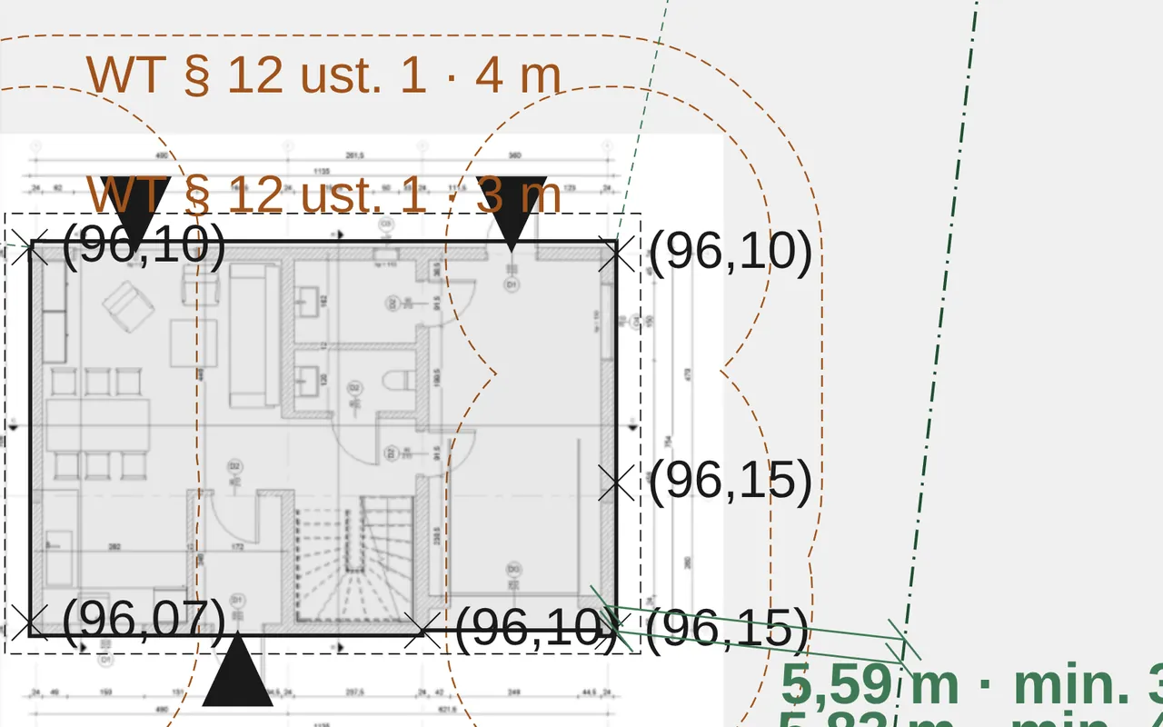
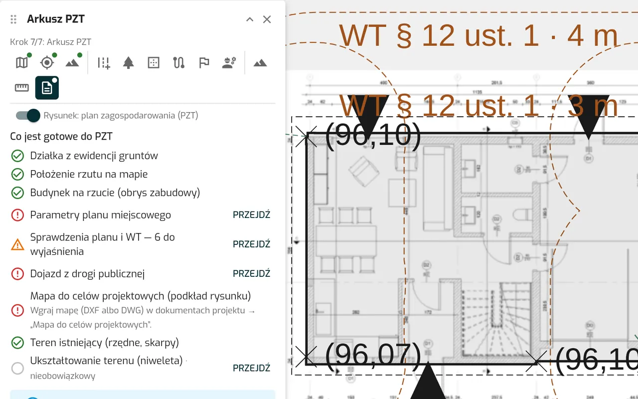
Draw roads, fences, external utilities and site objects in the model. The “Ready for the site plan” checklist shows what is still missing.
The trial lasts 7 days and needs no card. If you would rather see the app with us, write to us and we will set up a free demo.